West Mountains Double Loop, Willow Creek Trailhead OR Wilson Corrals Trailhead (easier to get to but farther drive)
- 30 miles, 7,300 ft climbing
- Boise Nat'l Forest, Cascade Ranger District, 208-382-7400
-Willow Creek Trail #125004, Wilson Creek Trail #133006, West Mtn Trail #131006, Gabe’s Peak Trail #136006, Spur 653K, Rammage Meadows FS road #653, Spur 653Q, Wilson Corrals Trail #135006, West Mtn Trail, Poison Creek Trail #134006, Wilson Creek Trail, Willow Creek Trail
- The eastern trailhead is up a rough, narrow, dirt road that requires high ground clearance. It is not popular so there should be space. There is also access on the western side off of FS Road 653 at Rammage Meadows or Wilson Corrals Trailhead that is suitable for passenger cars.
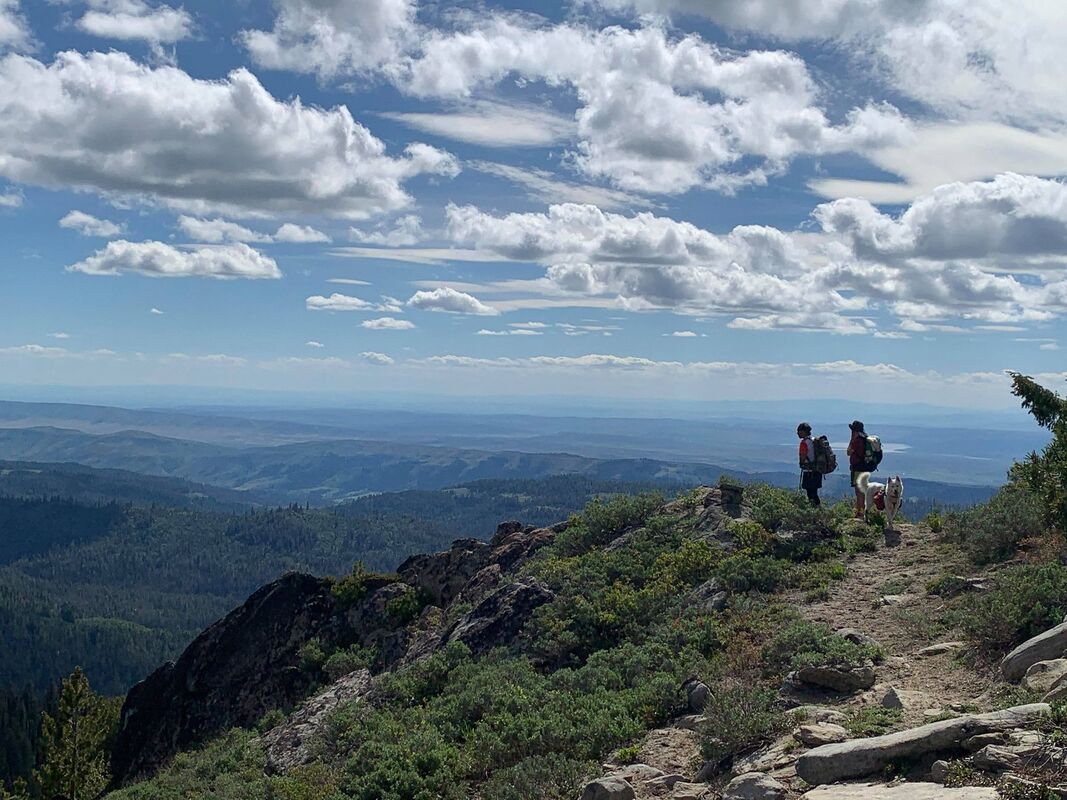
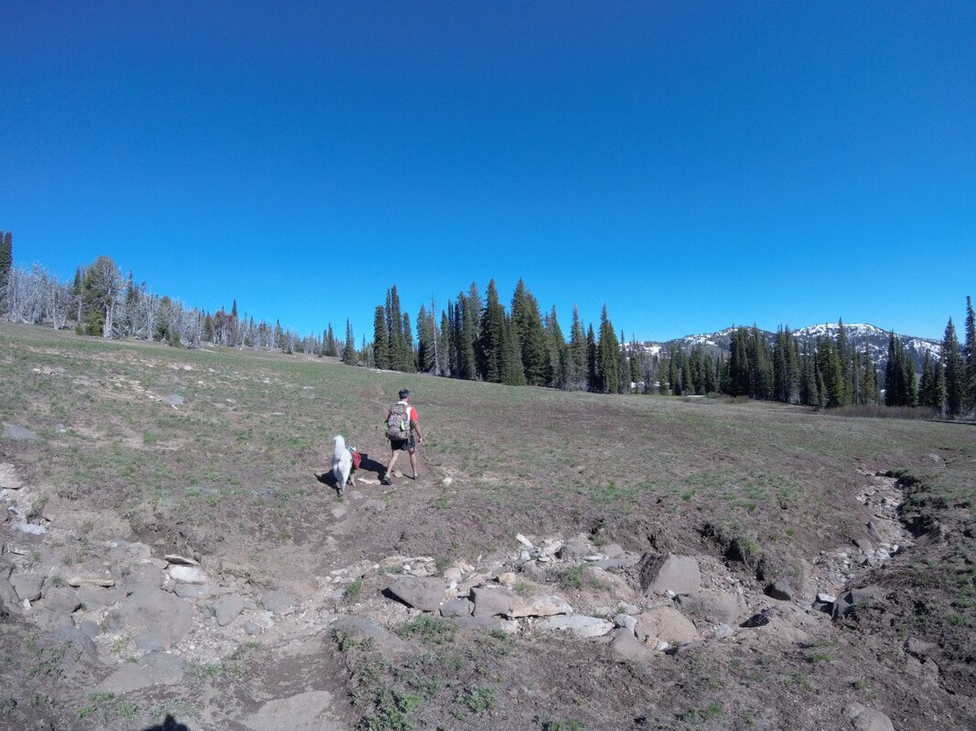
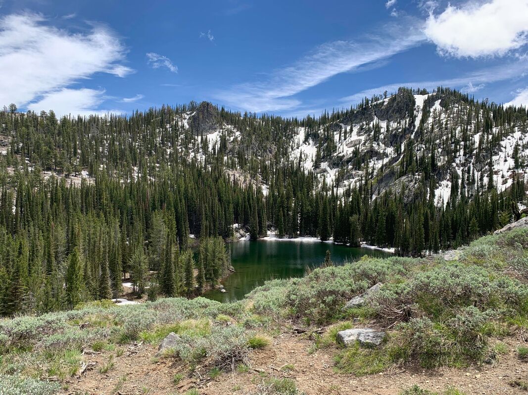
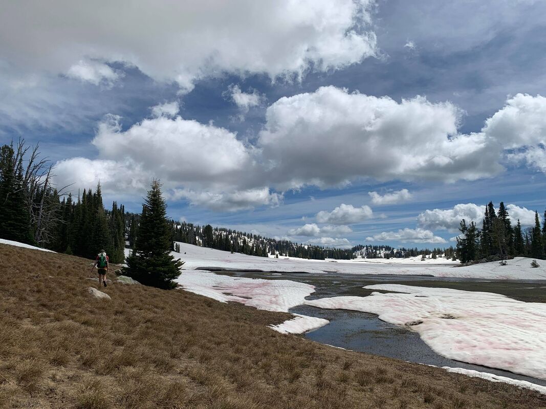
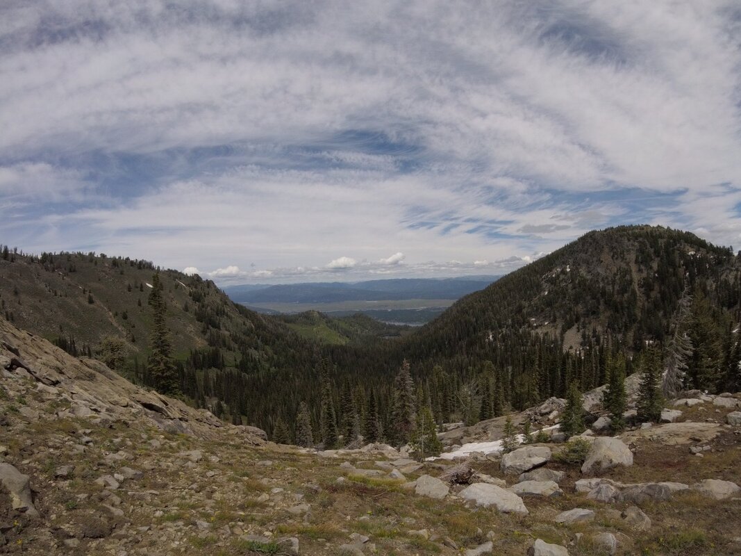
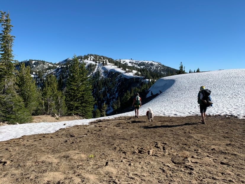
"I am surprised this area doesn't get more visitors. If you really want to get away from the crowds of the Foothills, McCall, and the Sawteeth, but still be within a day's drive of Boise, then this is the spot. Along the way you will see an old herding/hunting cabin in Wilson Meadows and lots of evidence of old herder's camps. High meadows can hold a good amount of snow through June."
- GaiaGPS Link
West Mountains Northern Loop, West Mountain (North)/Poison Creek Trailhead
- 15 miles, ~2,700 ft climbing
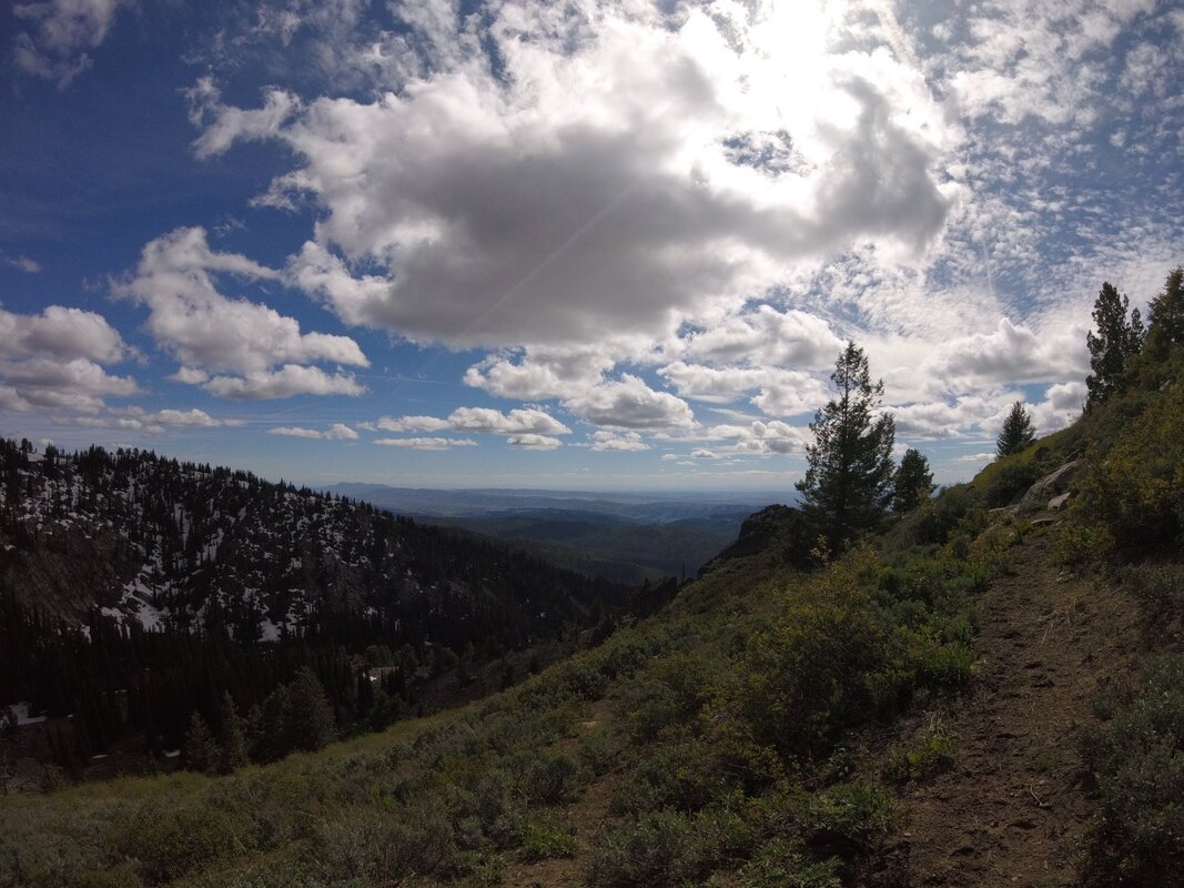
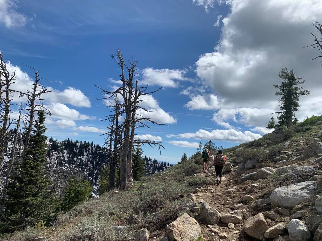
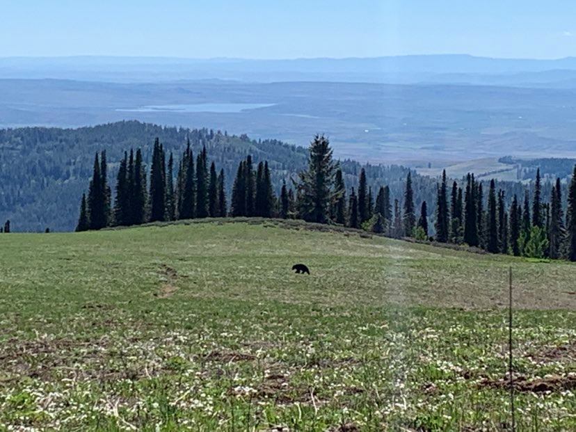
"The northern loop is more difficult, but also a lot more scenic, than the southern loop, so that's why it's being offered as a shorter alternative. I would recommend going clockwise on this one, but both directions are challenging for different reasons. The high meadows at the top of this loop offer sweeping vistas to the West and up to the Seven Devils range. If you are lucky you will see more bears than people."
Register
- GaiaGPS Link
GPX below is "feet on the ground," but is not always accurate due to snow fields and lack of clear trail.
- 30 miles, 7,300 ft climbing
- Boise Nat'l Forest, Cascade Ranger District, 208-382-7400
-Willow Creek Trail #125004, Wilson Creek Trail #133006, West Mtn Trail #131006, Gabe’s Peak Trail #136006, Spur 653K, Rammage Meadows FS road #653, Spur 653Q, Wilson Corrals Trail #135006, West Mtn Trail, Poison Creek Trail #134006, Wilson Creek Trail, Willow Creek Trail
- The eastern trailhead is up a rough, narrow, dirt road that requires high ground clearance. It is not popular so there should be space. There is also access on the western side off of FS Road 653 at Rammage Meadows or Wilson Corrals Trailhead that is suitable for passenger cars.
"I am surprised this area doesn't get more visitors. If you really want to get away from the crowds of the Foothills, McCall, and the Sawteeth, but still be within a day's drive of Boise, then this is the spot. Along the way you will see an old herding/hunting cabin in Wilson Meadows and lots of evidence of old herder's camps. High meadows can hold a good amount of snow through June."
- GaiaGPS Link
West Mountains Northern Loop, West Mountain (North)/Poison Creek Trailhead
- 15 miles, ~2,700 ft climbing
"The northern loop is more difficult, but also a lot more scenic, than the southern loop, so that's why it's being offered as a shorter alternative. I would recommend going clockwise on this one, but both directions are challenging for different reasons. The high meadows at the top of this loop offer sweeping vistas to the West and up to the Seven Devils range. If you are lucky you will see more bears than people."
Register
- GaiaGPS Link
GPX below is "feet on the ground," but is not always accurate due to snow fields and lack of clear trail.
| DoubleLoop.gpx |
| NorthernLoop.gpx |