Boulder-Chain Lakes Loop
- ~27 miles, ~6,000ft climbing
- 8168-10,230 ft asl
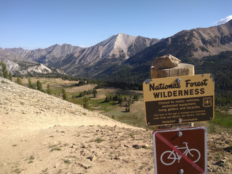
- White Clouds Wilderness, between Stanley and Ketchum, Idaho
- Stanley Ranger Station, 208-774-3000; Sawtooth Nat'l Rec Area, 208-727-5000
- This trailhead is up a dirt road that can be rough due to its popularity. A passenger car could make it, but I would recommend a little more clearance.
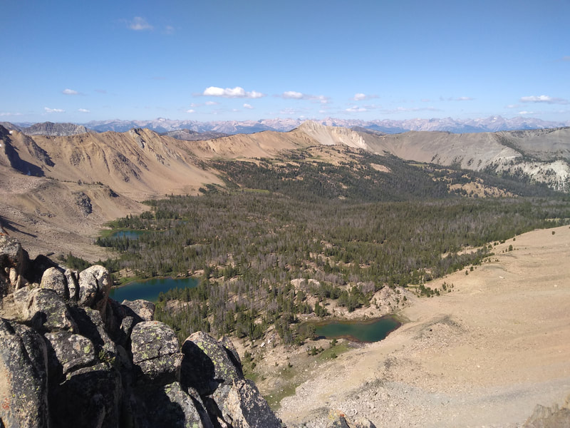
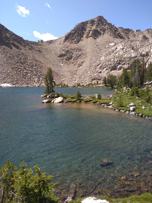
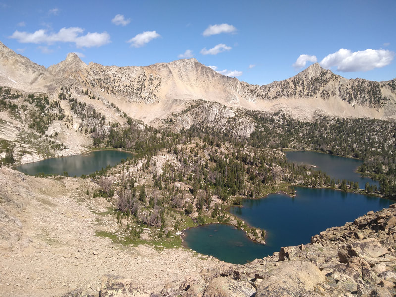
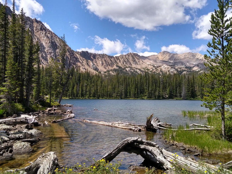
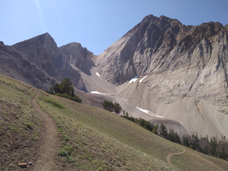
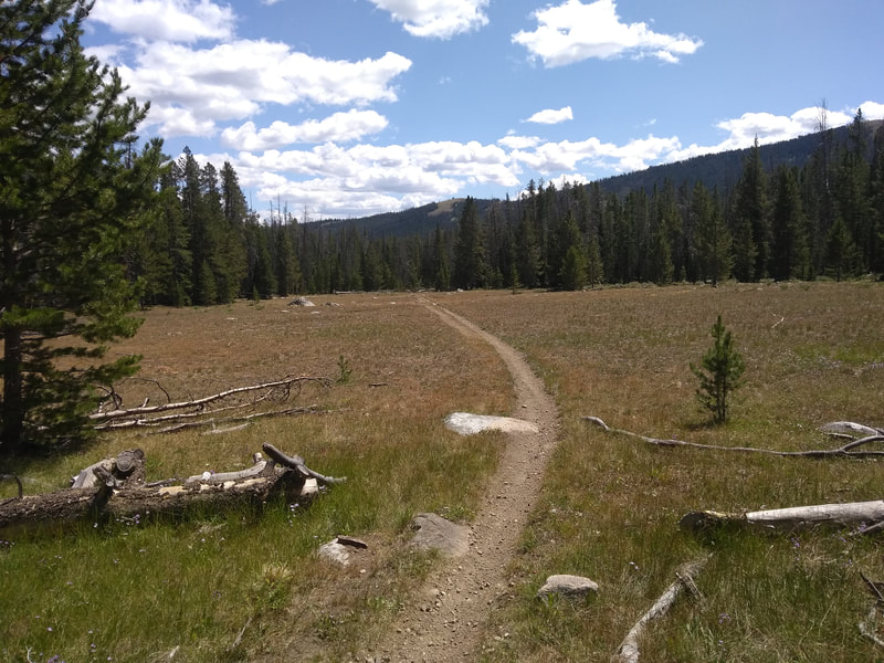
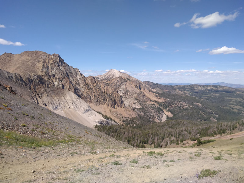
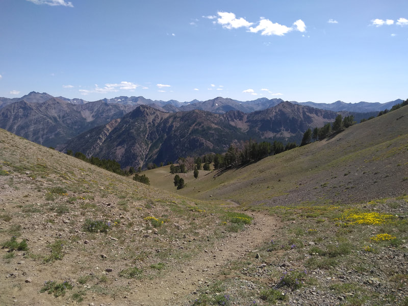
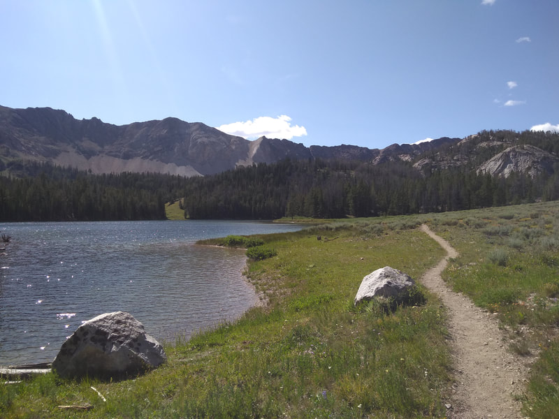
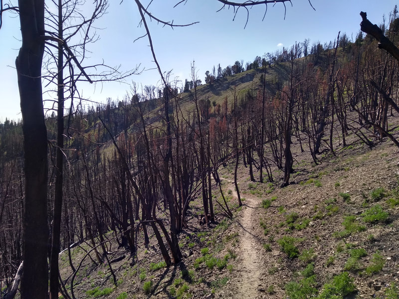
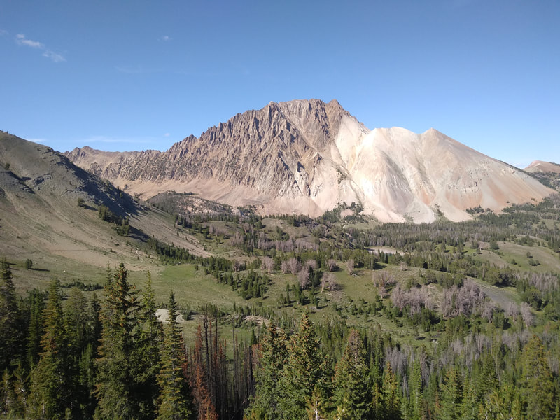
“Starting at the Fourth of July Trailhead at the end of Forest Road 209, almost the whole route is above 8500 ft, so this is definitely a later summer option. This loop features a mile or two of off trail route finding and scrambling in the Antz and Four Lakes Basins. Once you reach the top of Windy Devil and drop down into the Chain Lakes, there is established trail the rest of the way. Feel free to take a side trip to Lonesome Lake as well, one of the highest in Idaho at 10,449 feet. Once you make it out of the Chain Lakes, you’ll have great views of Castle Peak (the tallest in the range), as you climb up and over Castle Divide. This will drop you into Chamberlain Basin, and from there you’re home free."
Hiking Blog
Register
Gaia GPS Track
| boulder-chain_lakes.gpx | |
| File Size: | 5370 kb |
| File Type: | gpx |
