Wallowa Lakes Loop
- 33 miles, 8,600ft climbing
- 4669-8869 ft asl
- Eagle Cap Wilderness, south of Joseph, Oregon
- Wallowa Ranger Station, 541-426-5546
- This trailhead is at the end of a paved road with a parking lot.
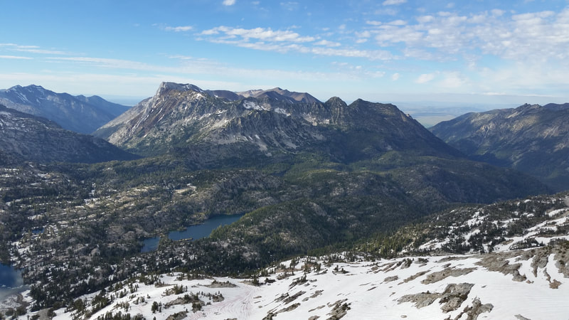
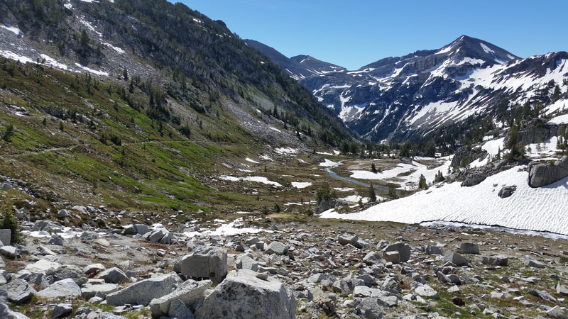
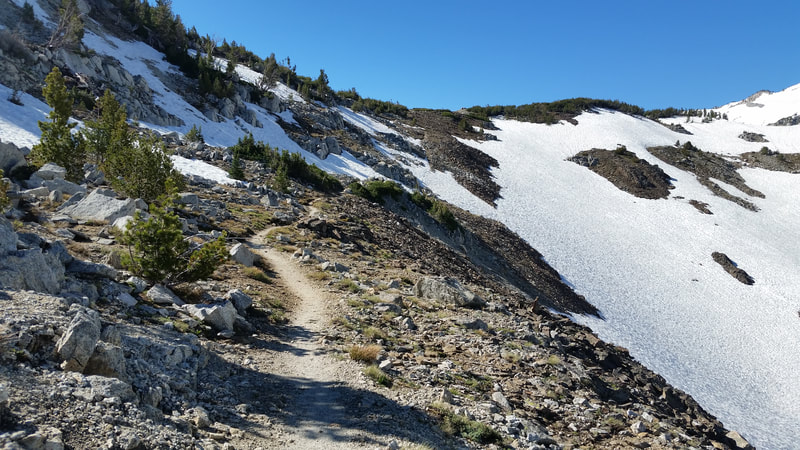
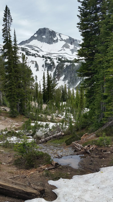
“This loop starts and ends at the south end of Wallowa Lake, just south of Joseph, Oregon. This will take you through and past some of the best known highlights of the Wallowa Mountains, including the Lakes Basin and near Eagle Cap while going over two high passes. This isolated mountain range is full of greenery and glacier-carved valleys. The crux of the route is Polaris Pass, which can hold a tricky snow cornice on its north side well into June. Plenty of water along the whole route. While a summit of Eagle Cap is not included on this route, I would highly recommend the side trip off of Mirror Lake. If you want an even longer trip, add on the out and back up to Ice Lake on Trail #1808, and maybe even a summit of Matterhorn, the second tallest mountain in the range. If you have some mountaineering/climbing experience, you could even go for Sacajawea Peak, the highest point in Oregon outside of the Cascades at 9,839 feet.
Route includes West Fork Trail #1820, Lakes Basin Trail #1810, Glacier Lake Trail, back to the West Fork Trail (but now heading northbound), then take the right fork onto Polaris Trail #1831 (no signage here as of June 2018), and East Fork Trail #1804 will take you all the way back to the trailhead to complete the loop. Feel free to take the short alternate through the Lakes Basin on Horseshoe Lake Trail #1821, but I would highly recommend going between Douglas and Crescent Lakes instead of taking the shortcut along the south shore of Douglas Lake so you don't miss the amazing view of Eagle Cap across Mirror Lake.”
Register
Gaia GPS Track
| wallowa-lakes-33mi.gpx | |
| File Size: | 100 kb |
| File Type: | gpx |


