Queens River Loop
- 32 miles, 6,200ft climbing
- 5200-9200 feet above sea level
- Sawtooth Wilderness, outside Atlanta, Idaho
- Stanley Ranger Station, 208-774-3000; Sawtooth Nat'l Rec Area, 208-727-5000
- Trailhead is down a long dirt road that is on the rough side. I wouldn't recommend a low clearance car, but you could probably still make it.
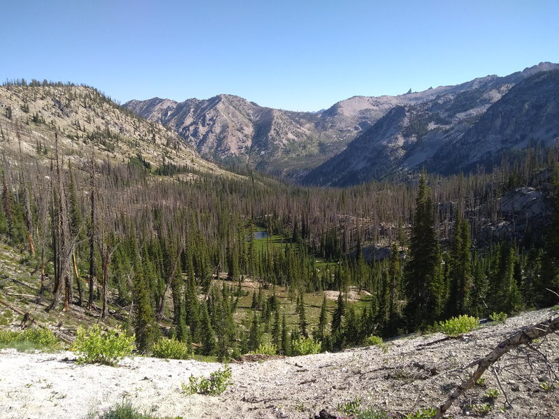
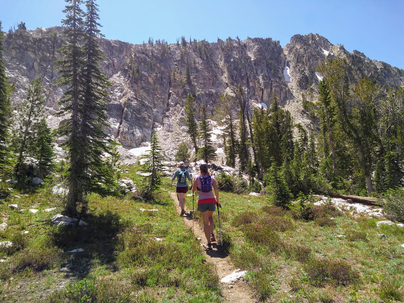
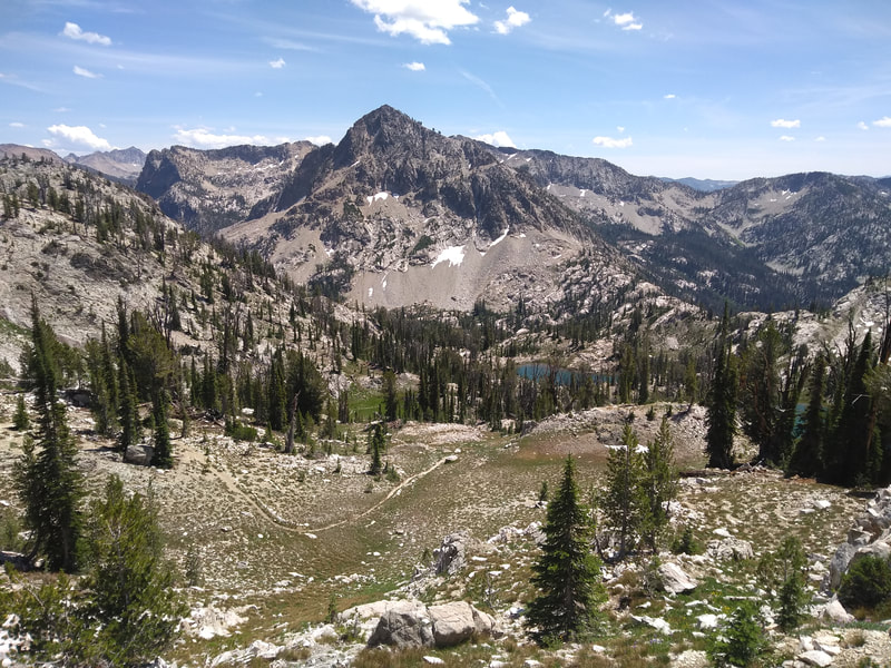
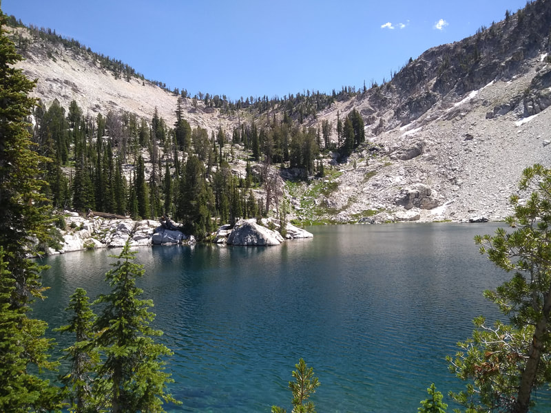
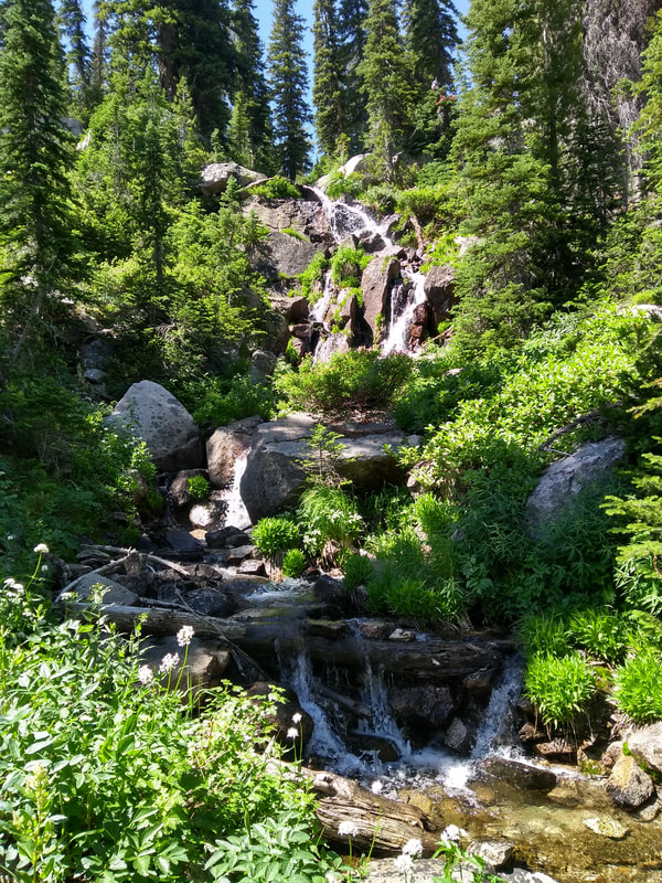
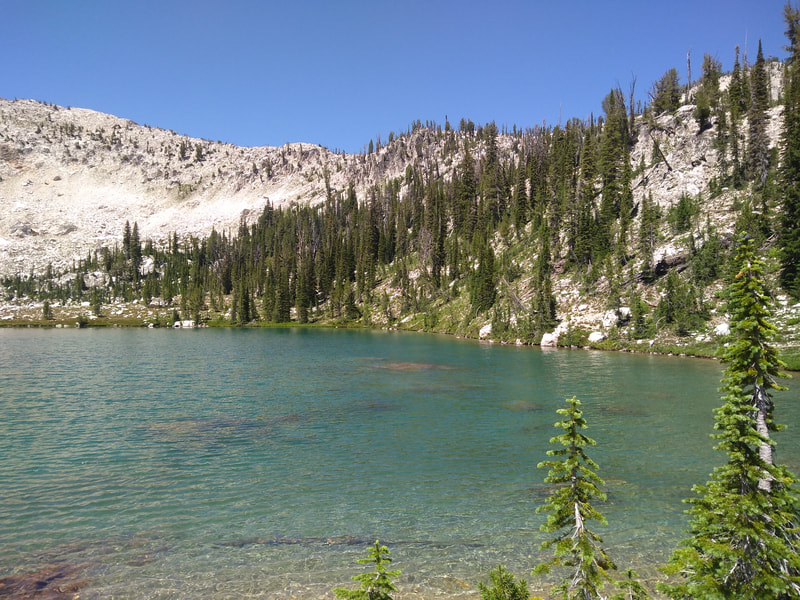
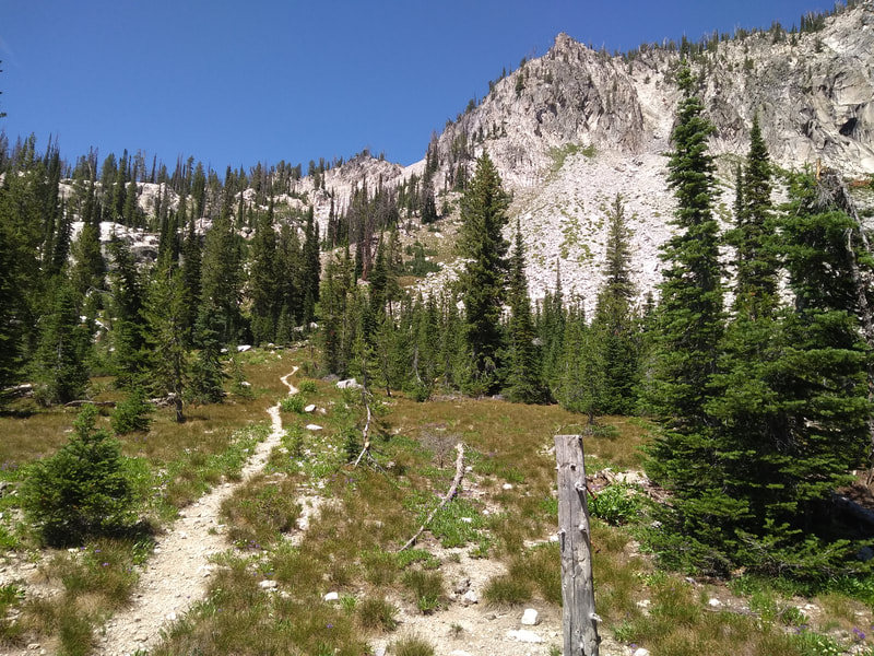
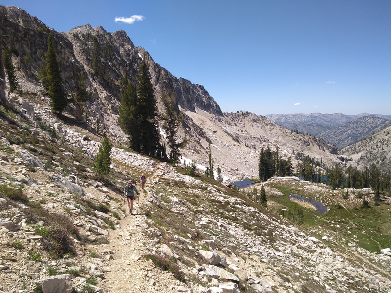
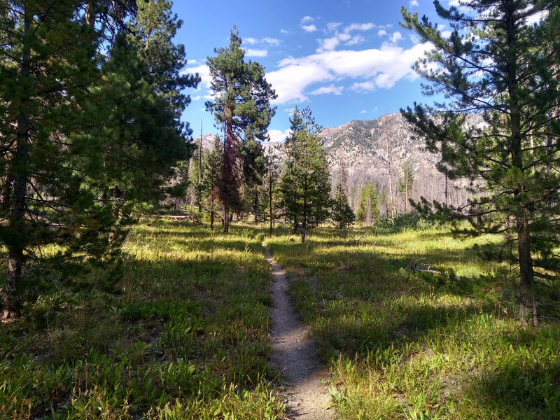
“Don't let this route fool you. It is much more difficult than it looks on paper. Down trees, primitive trail that disappears at times, bushwhacking, and many river crossings are just a few of the challenges you will face on this route. However, you’ll be rewarded with pristine alpine lakes, craggy mountaintops, the Queens River Canyon, and solitude.
The Queens River Trailhead is located 5 miles west of Atlanta, Idaho. Turn North onto China Basin Road at the Queens River Campground, and drive 2 more miles until reaching the trailhead and parking area. From the trailhead, cross the bridge and turn left on #454 up the Little Queens River, left at the fork for Trail #459 heading North, right on #494 heading East along Johnson Creek, and back to #458 all the way down the Queens River and back to the parking area.
Take a side trip to Browns Lake, take a dip in Pats Lake, or climb the peak of Mt Everly if you’re not going for speed. If you want to get into the Sawtooths but you want to avoid the crowds in areas like Redfish Lake, then this is the route for you. Water available throughout.”
Hiking Blog
Hiking Blog
Register
Gaia GPS Track
| queens_river_loop.gpx | |
| File Size: | 2798 kb |
| File Type: | gpx |
