Idaho Sisters, Double Lollipop
- 45 miles, 15,000ft climbing
- 1763-7000 ft asl
- Clearwater Nat’l Forest, Northeast of Orofino, Idaho
- St. Joe Ranger District - Avery, 208-245-4517, Tim Lewis - 208-464-1269
- This trailhead is off of a paved road. If coming from the south or west, requires travel on a dirt road suitable for passenger cars.
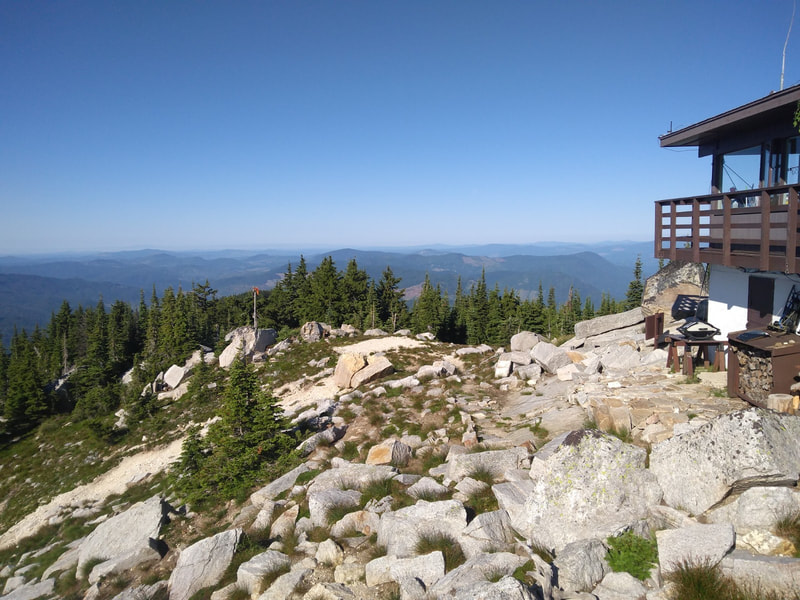
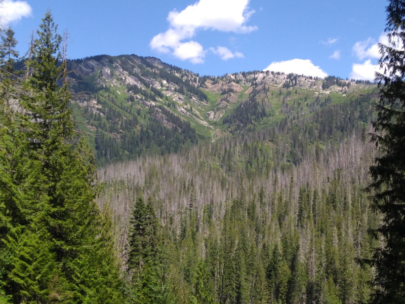
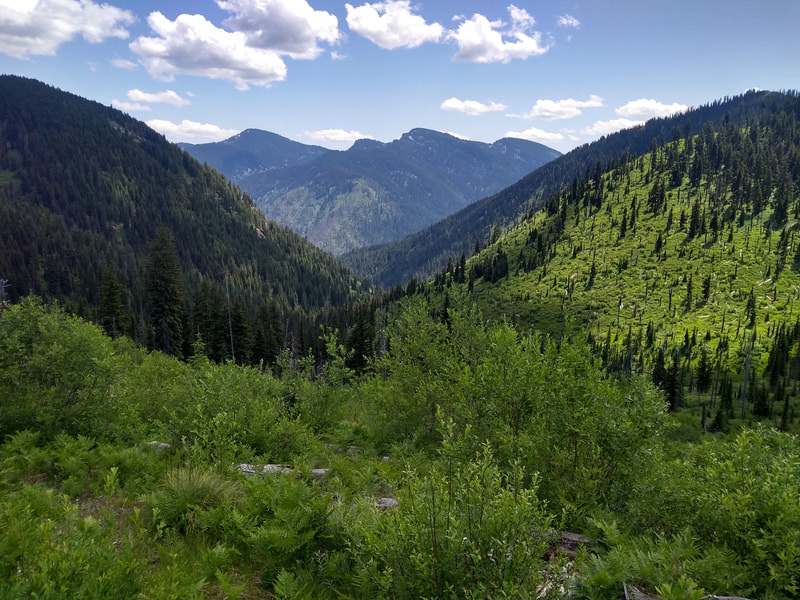
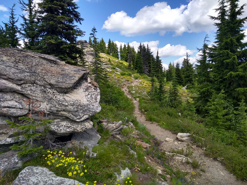
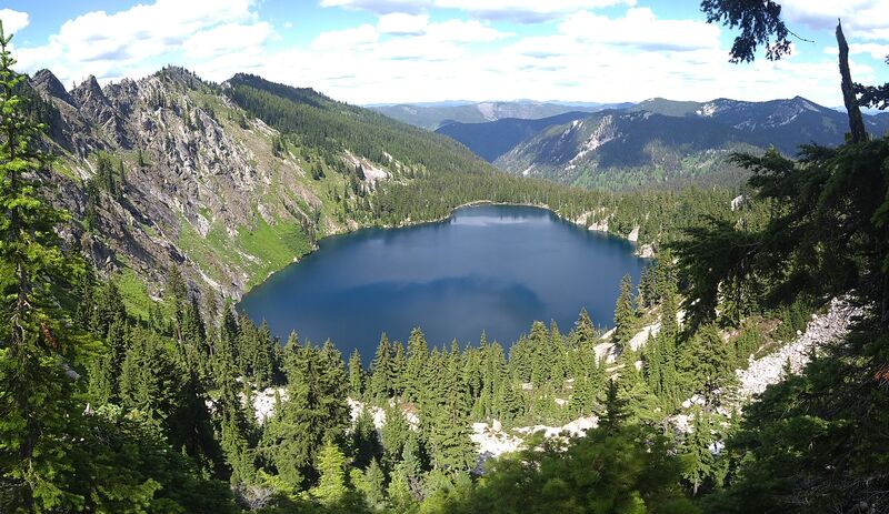
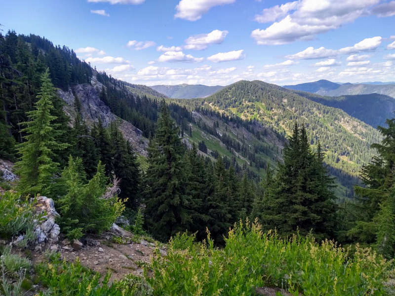
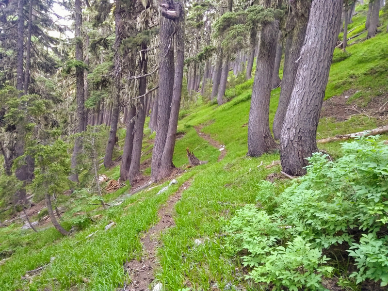
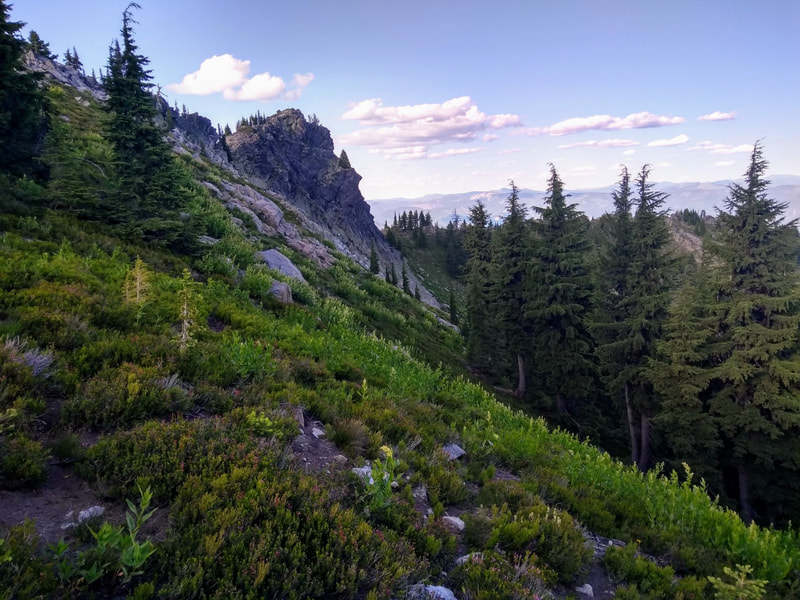
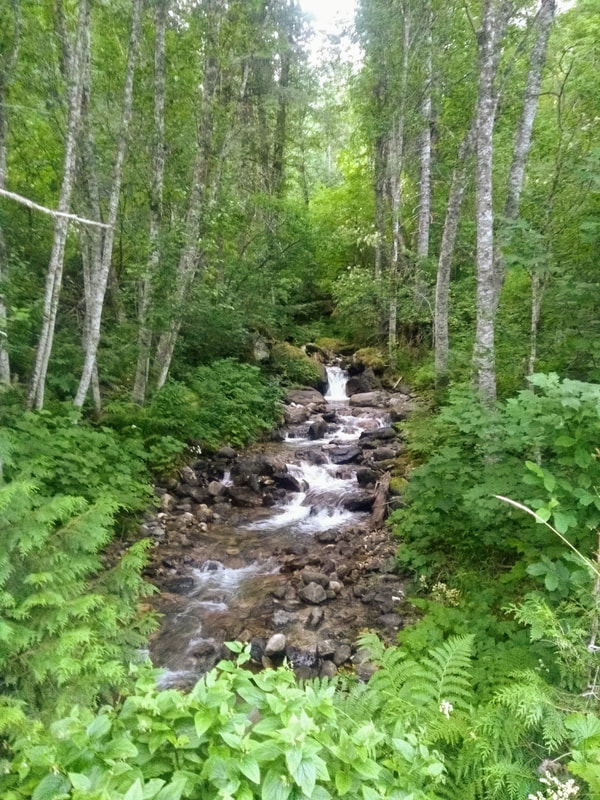
“The good news? This route only has two big climbs. The bad news? They’re doozies. Most of this route is contained within the Mallard-Larkins Pioneer Area in the Clearwater Nat’l Forest. While it doesn’t have official Wilderness designation, it is a roadless district and is managed as such. This special area is at the southern end of the largest inland temperate rainforest in the world, and it's home to many species that don't exist anywhere else east of the Cascades. Worth the drive from anywhere, the landscape is characterized by steep mountains rising out of lush, green forests. This double lollipop route includes the Black Mountain Trail #396, a tag of the Black Mountain Lookout, Black Lake Trail #685, The Nub Trail #399, Isabella Creek Trail #95, Elmer Creek Trail #96, Smith Ridge Trail #240, and back to The Nub Trail #399 until you get back to North Fork Road 247. Turn right and finish with 2.75 easy miles on the road to get back to where you started. This route is one of the more difficult ones in the series. Black Lake Trail is mostly faint, Isabella Creek Trail is overgrown in spots with many creek crossings, and The Nub Trail is thickly overgrown for approximately half of its distance. Not to mention the 1/4 mile section of the Elmer Creek Trail where it is non-existent (as of July '19). However, there were flags through this part, and recent work done lower on the trail, so hopefully the forest service will be clearing the rest of it soon.”
Little Sisters, Single Lollipop
- 25 miles, ~8,000ft climbing
- 3100-6562 ft asl
"This shorter distance option consists of the northern loop only, and excludes much of the primitive and difficult to follow trail. It does, however, include the most scenic parts of the route. See above description for the short bushwhack on the Elmer Creek Trail (unless the USFS has finished the trail, which is quite possible)."
Register
Gaia GPS Track - 45 miler
Gaia GPS Track - 25 miler
| Idaho Sisters 45mi | |
| File Size: | 1593 kb |
| File Type: | gpx |
| Little Sisters 25mi | |
| File Size: | 75 kb |
| File Type: | gpx |
