Thunder Mountain Loop
- 50 miles, 7,200 ft climbing
- 4300-8500 ft asl
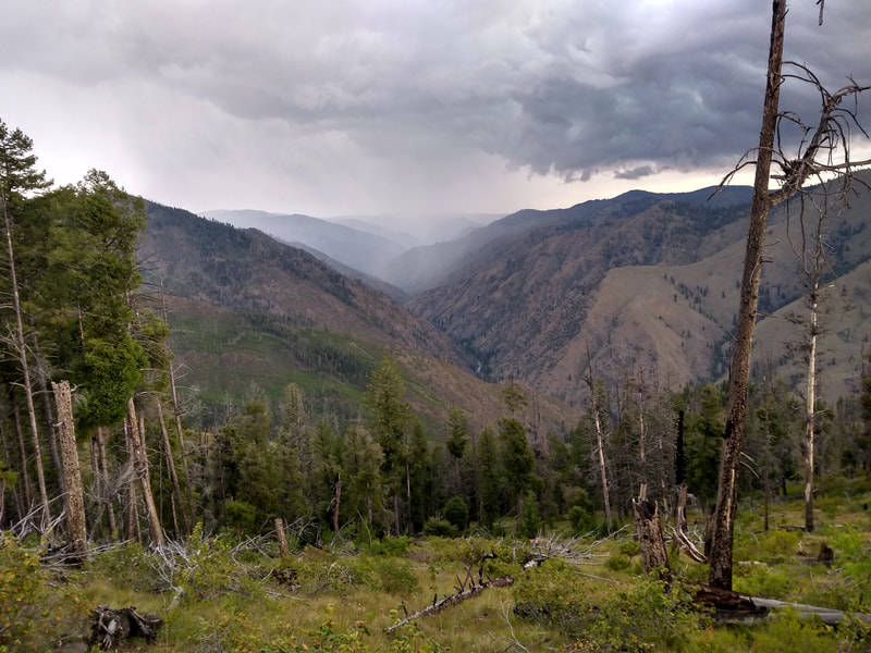
- Frank Church/River of No Return Wilderness, northeast of Yellow Pine, Idaho and past the Stibnite Mine
- Payette Nat'l Forest, McCall Ranger Station, 208-634-0700
- Article about the history of Thunder Mountain
- This trailhead is down a long dirt road that is suitable for passenger cars.
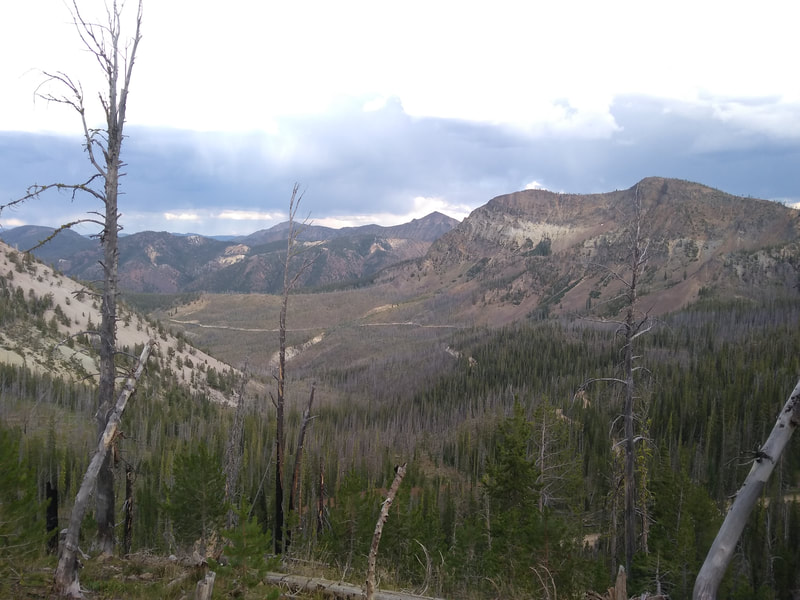
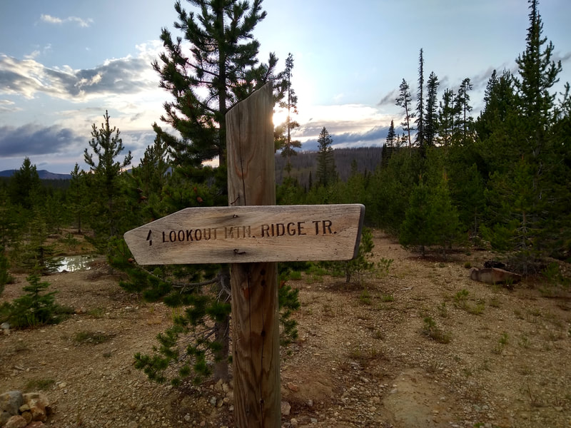
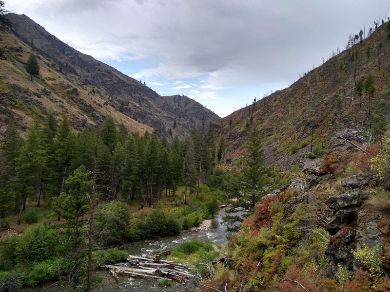
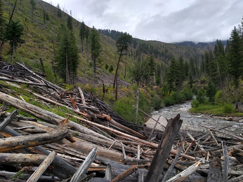
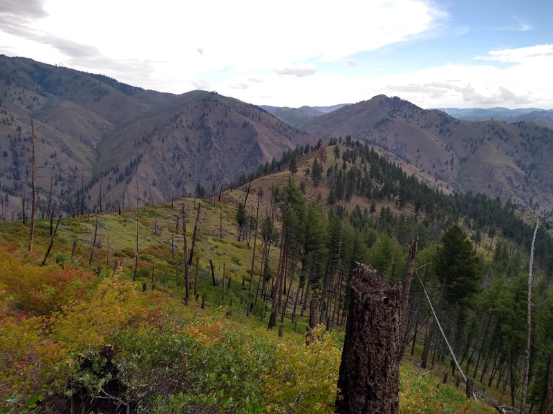
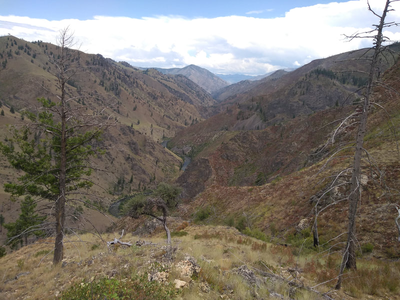
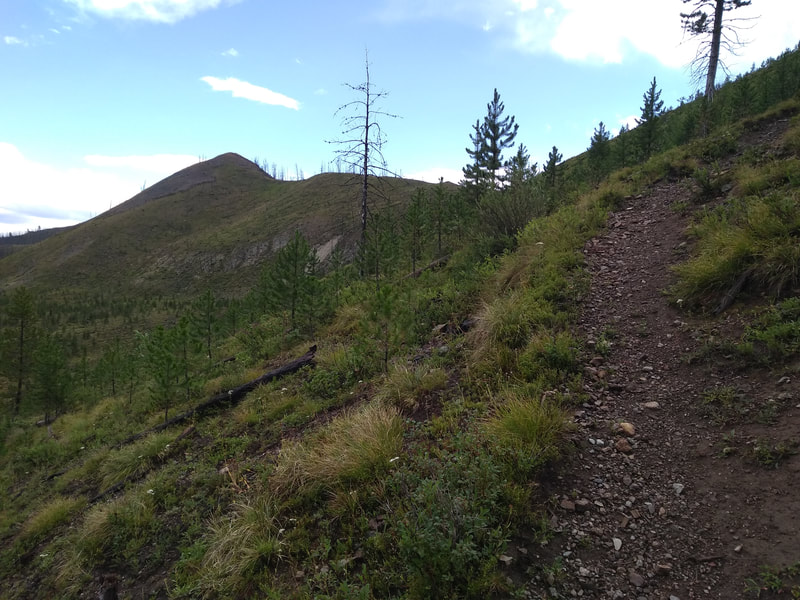
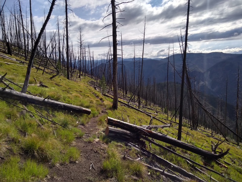
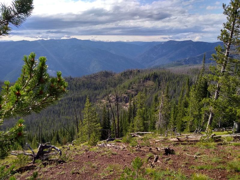
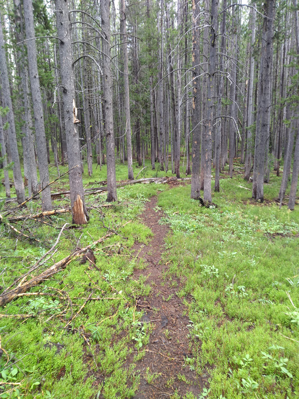
"This route starts and ends in the old Thunder Mountain mining area. This forgotten town was the site of a brief and mostly disappointing gold boom around the turn of the 20th century. You will see the remnants of many log buildings and even an old stamp mill to the right of the trail along Monumental Creek. The Monumental Creek Trail is easy to follow, but can be overgrown in spots. It crosses the creek many times, so your feet will get wet. Route includes about 5 miles of dirt road with the remaining 45 miles being 100% single track and one primitive section on Lookout Mountain Ridge Trail. The twenty miles between the Big Creek ford and the Lookout Mtn Trailhead are dry, so carry ample water for this section. There is a spring right on the trail less than a quarter mile from the trailhead. The vast majority of the climbing on this route is in the last twenty miles (if you go clockwise), so be prepared for that."
Shorter Option:
- ~25 miles, ~5,300 ft climbing
"This route still gives you a great taste of the remoteness of the RONR wilderness, but you do miss the best part of the 50 mile route, which is the long Lookout Ridge section once you climb up after fording Big Creek. You do, however, avoid the Big Creek ford. You will still pass by the old Lookout Mountain fire lookout site."
Register
Gaia GPS Track - 50 miler
Gaia GPS Track - 25 miler
| Thunder Mtn 50 mile | |
| File Size: | 4461 kb |
| File Type: | gpx |
| Thunder Mtn 25 mile | |
| File Size: | 95 kb |
| File Type: | gpx |
