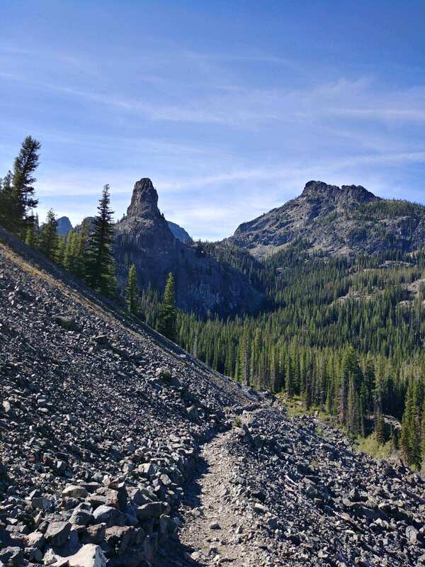
Seven Devils Loop
- 27 miles, 5,000ft climbing
- 6416-8050 ft asl
- Hells Canyon Wilderness, west of Riggins, Idaho
- Riggins Ranger Station, 208-628-3916
- This trailhead is up a dirt road that is suitable for passenger cars.
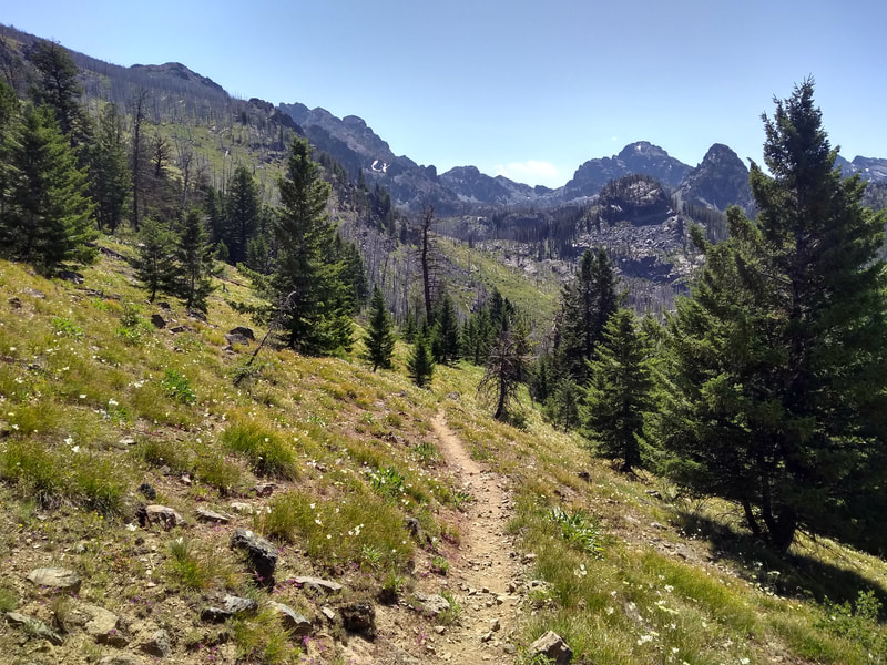
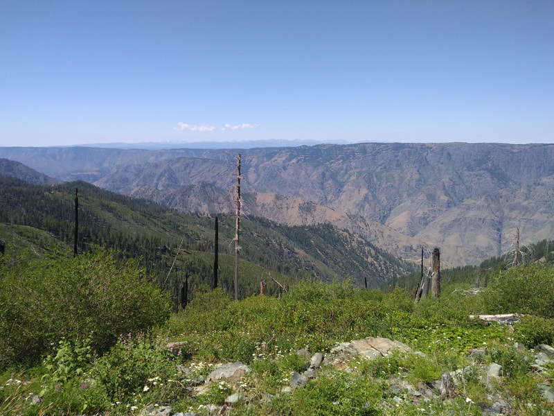
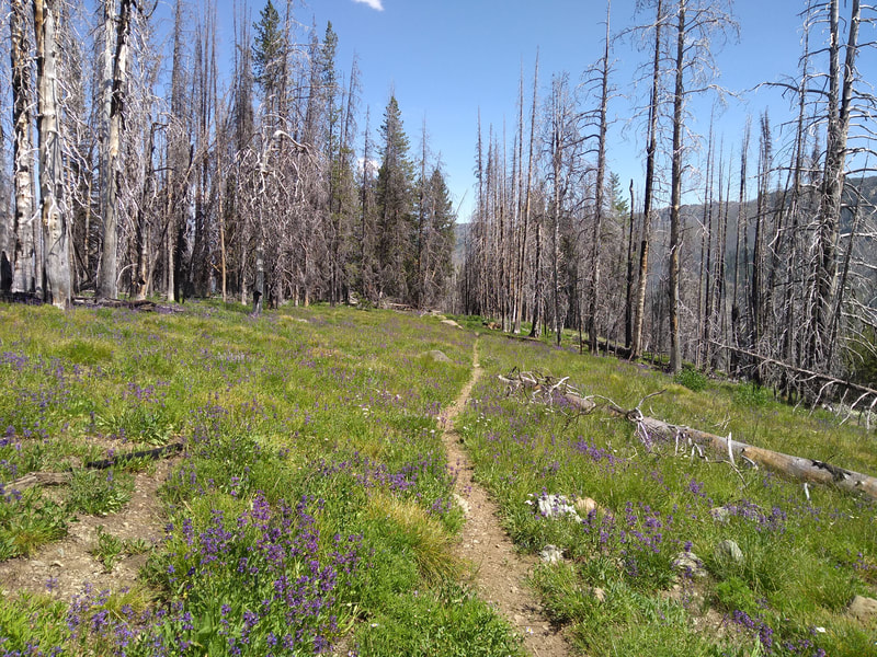
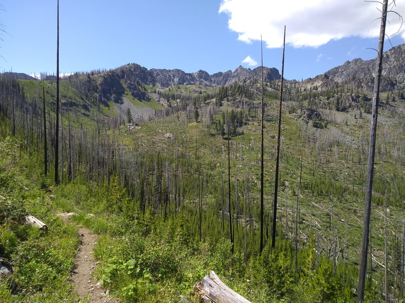
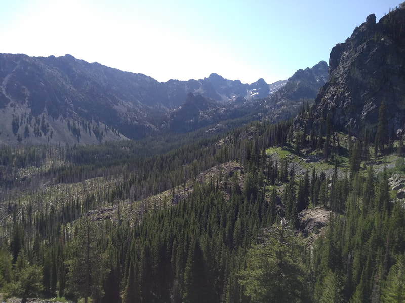
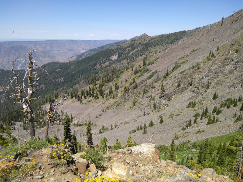
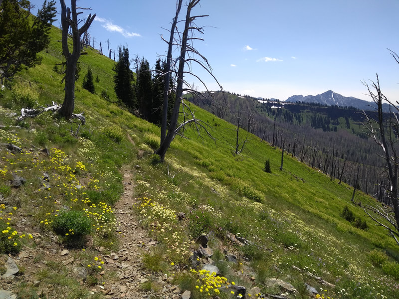
“The Seven Devils Loop is about 27 miles and consists of the Seven Devils Trail and the South Boise Trail. Located well above and to the west of the small town of Riggins, the route begins around 7500ft above sea level. Most travelers hike counter-clockwise, taking on the the more difficult west side of the loop first. The trail is well defined, dipping and climbing along wooded hillsides and rocky terrain. Much of the trail winds around large hills and has excellent views of Hells Canyon. Within the loop there are numerous lakes to visit, but expect at least 1 mile of hiking/running and 400 feet of climbing. Some of these side trails are not well maintained and require good navigational skills. However, that's the beauty of this route. You can make it what you want, choosing from numerous lakes to jump in or peaks to summit. If you decide to climb to any of the high points, be prepared for scrambling and loose rock. Water can get scarce on the main loop, especially later in the season, so I would recommend filling up your bottles every chance you get. The southern half of this loop is dry, so be careful to not run out of water on the way around.”
Newspaper Article
Register
Gaia GPS Track
| seven-devils-loop.gpx | |
| File Size: | 603 kb |
| File Type: | gpx |
