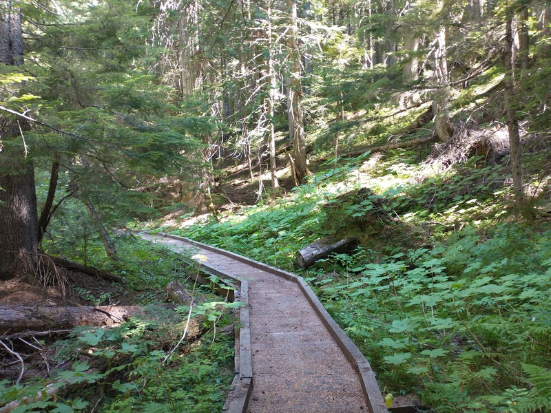
Long Canyon Loop, Long Canyon Trailhead
- 37 miles, ~9,000 ft climbing
- Kaniksu Nat'l Forest, Bonners Ferry Ranger District, 208-267-5561
- Westside Road, Parker Ridge Trail #221, Parker Peak, Parker Ridge Trail, Pyramid Trail #7, Long Canyon Trail #16
- Trailhead is off of a paved road
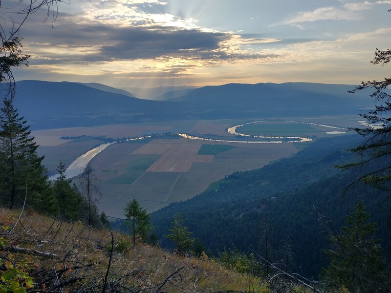
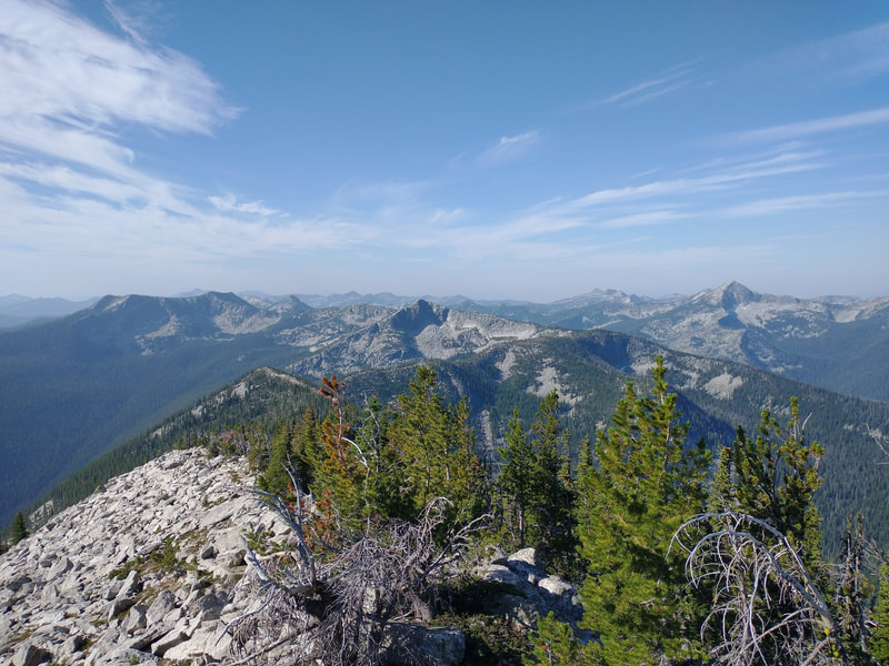
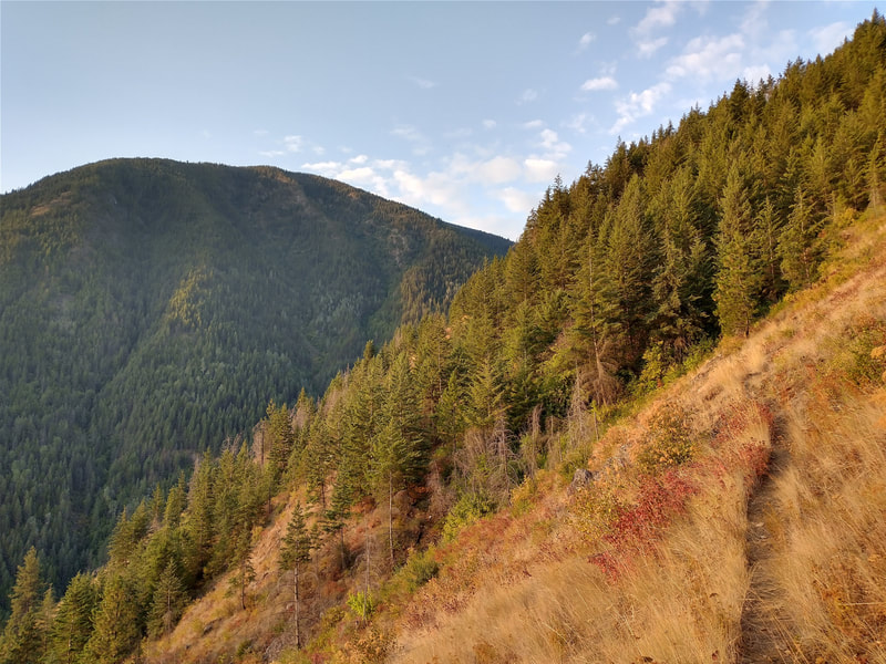
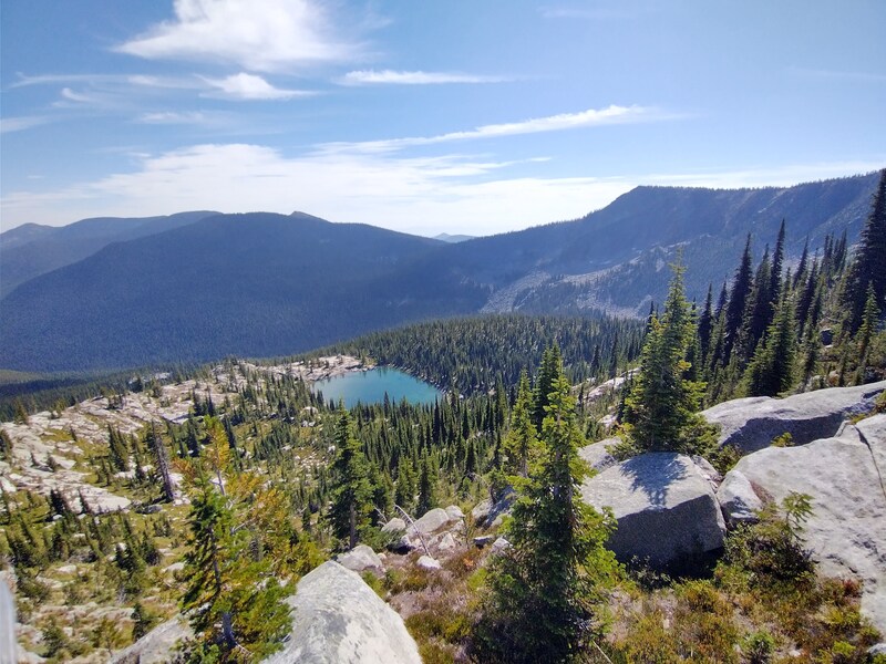
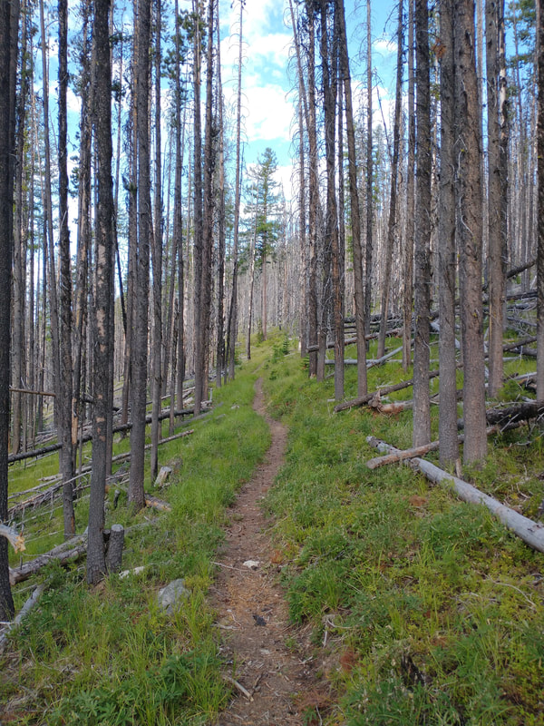
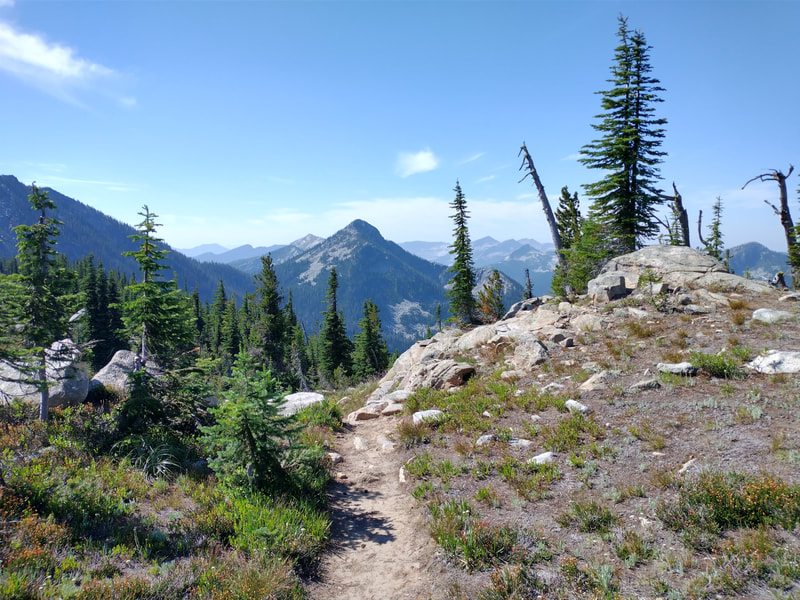
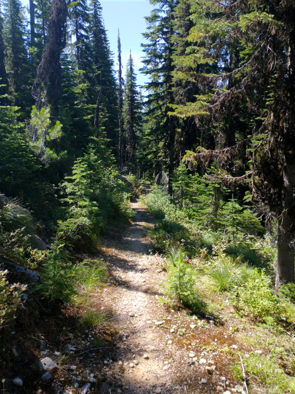
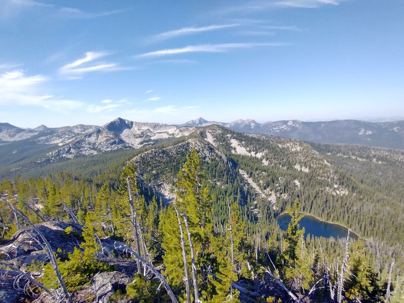
"This route is almost in Canada. Past CDA, past Sandpoint, and past Bonner's Ferry, but well worth the trip. You will be on Westside Road for a few miles (with hardly any traffic ever), but other than that, this route is completely singletrack. The section climbing up from the road and across Parker Ridge is also the Pacific Northwest Trail: a 1,200 mile path running from Glacier Nat'l Park to Olympic NP. The Parker Ridge section offers views out over the Kootenai River valley, wild blueberries, fire lookout ruins on Parker Peak, and views into Canada and out across many distinct Selkirk peaks. The Long Canyon section has old growth forest, a few water crossings where you might have to get wet, and smooth, rolly singletrack. Be sure to stop at the boat launch on the east side of the Kootenai River Bridge on the way there or back for a nice swim."
Register
- GaiaGPS Link
GPS didn't pick up very well in Long Canyon, but trail is clear
| long_canyon.gpx | |
| File Size: | 81 kb |
| File Type: | gpx |
