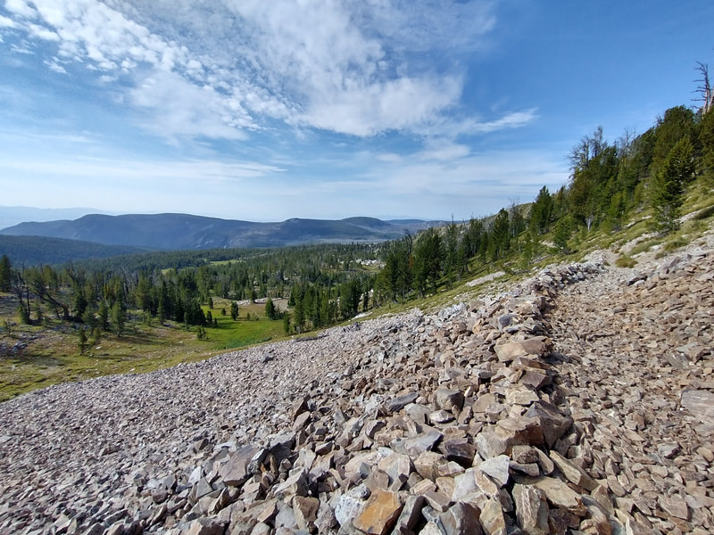
Pintlers Grand Loop, Middle Fork Trailhead
- 58 miles, ~11,000 ft climbing
- Anaconda-Pintler Wilderness, Beaverhead-Deer Lodge Nat'l Forest, 406-683-3900
- HiLine Trail #111/8111, Continental Divide Trail #9, Bitterroot Rock Creek Divide Trail #313, Middle Fork Trail #28
- Trailhead is suitable for passenger cars
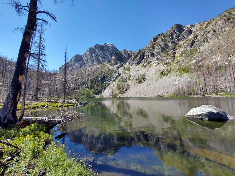
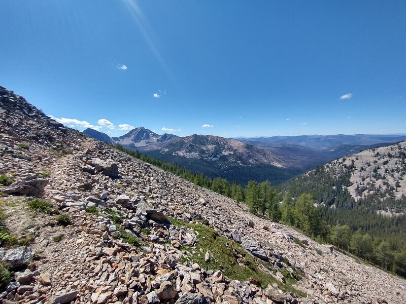
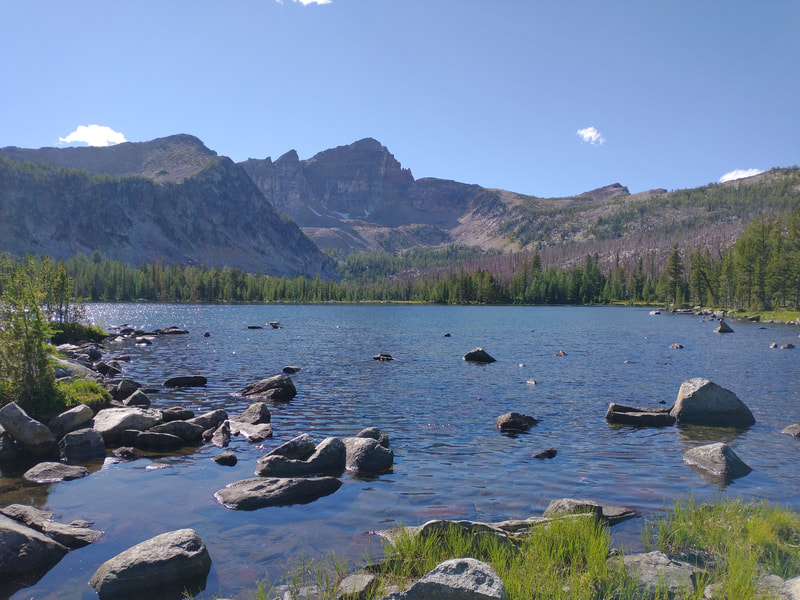
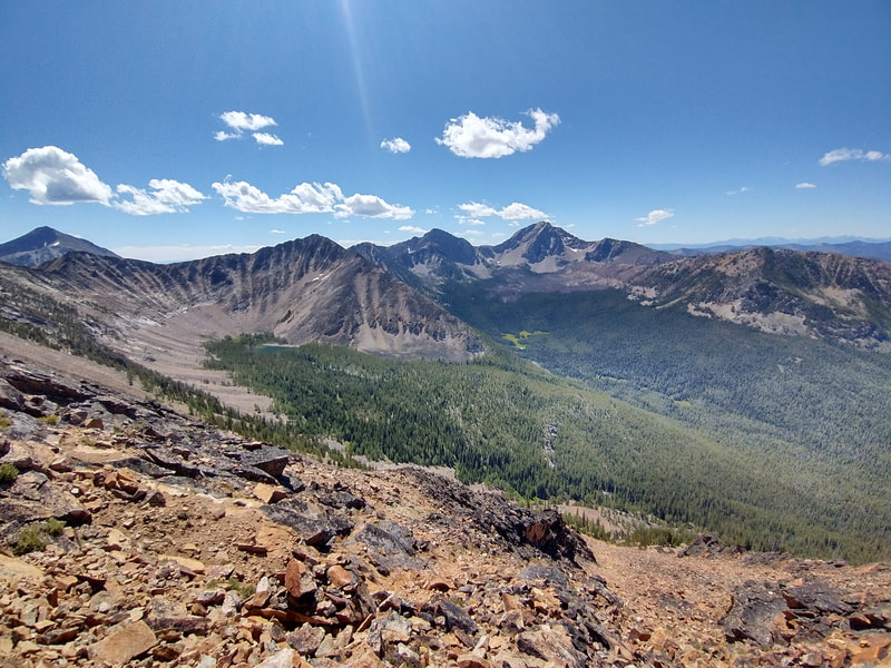
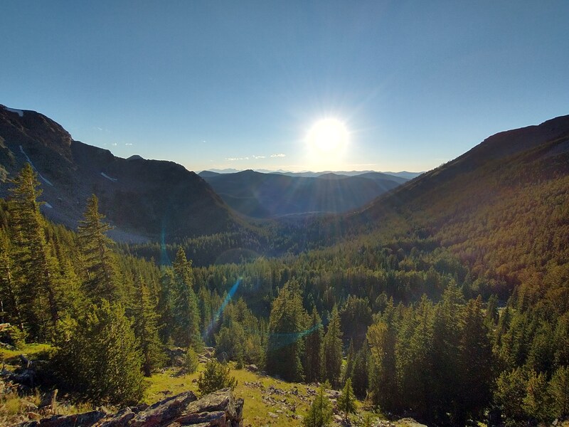
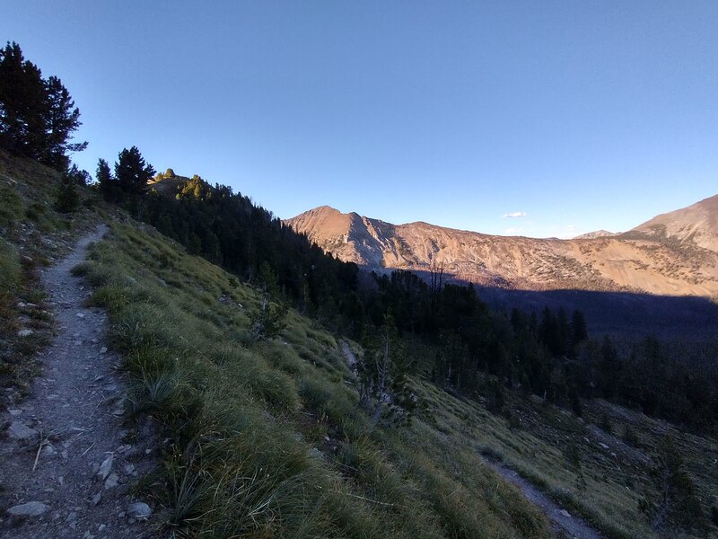
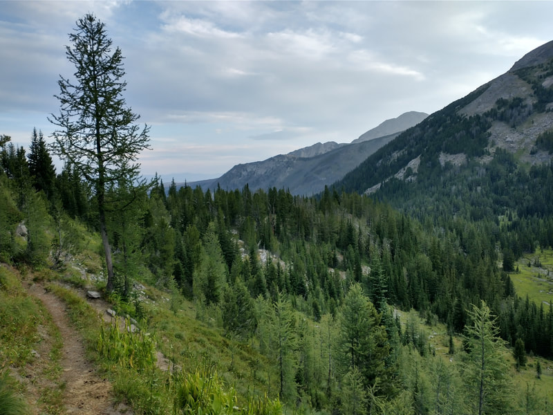
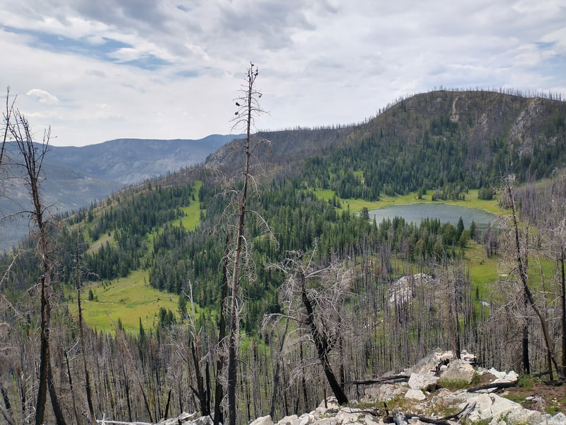
"The Anaconda Range, or the Pintlers as they're locally known, run roughly East-West and lie between the Bitterroots and Butte, MT. This pristine wilderness area contains many lakes, challenging passes, and one of the more highly regarded sections of the Continental Divide Trail. Wildfires ravaged the north side of this loop in 2000, but the area is starting to recover. Water is available throughout, and there are many nice lakes for swimming. Route goes over many named passes, with Cutaway and Rainbow being the most dramatic. If you are attempting this in one day, I would recommend going counter-clockwise so you are going through the burn area in the dark where it is not quite as scenic. Be sure to stop at the Moose Lake Picnic Area on the way in or out for a great swim."
Register
- GaiaGPS Link
| pintlers_loop.gpx | |
| File Size: | 326 kb |
| File Type: | gpx |
